Summer Storytimes at Lakeland Libraries
Storytime is on for the summer! Join us for songs, stories, and fun!
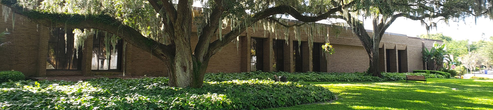
Kelly Branch Library Preschool Storytime (10:15 AM select Tuesdays); ages 2-5
July 7, 21
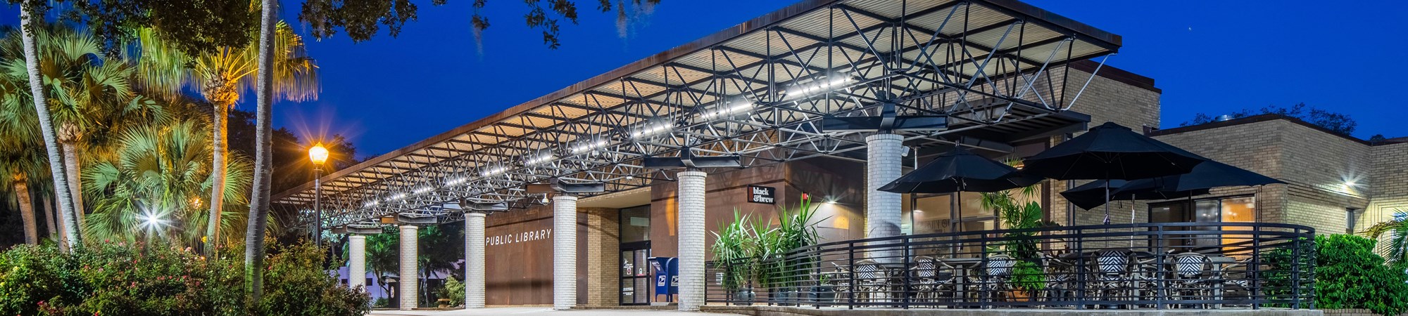
Lakeland Public Library Preschool Storytime (10 AM Wednesdays); ages 2-5
July 8, 15, 22
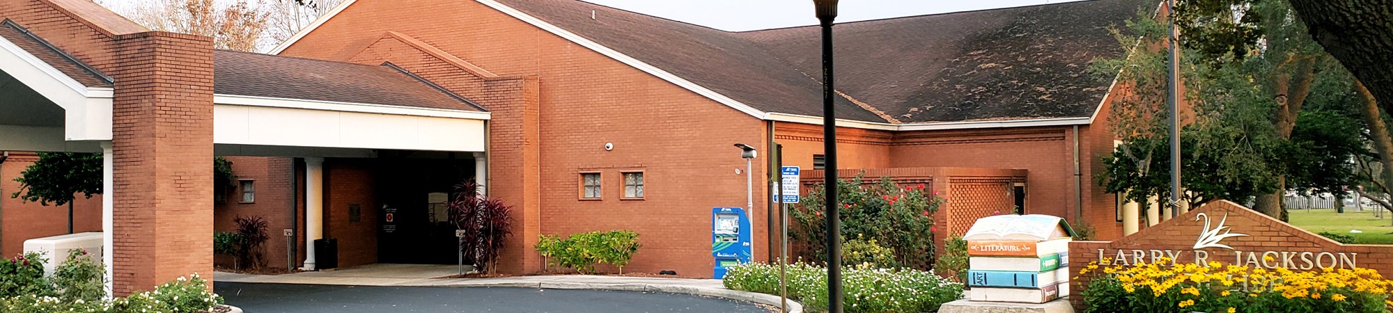
Larry Jackson Branch Library Preschool Storytime (10 AM Thursdays); ages 2-5
July 9, 16, 23
Lakeland Public Library Baby Storytime (11 AM Thursdays); ages birth-18 months
July 9, 16, 23
Larry R. Jackson Branch Library Bilingual Storytime (10 AM select Thursdays); ages 2-5
July 30
Lakeland Public Library Children's Theater Interactive Storytime (2 PM select Saturdays); ages 4 and up
July 11
For more information, please contact the Kelly Branch Library at 863.834.4286, Lakeland Public Library at 863.834.4268, or Larry R. Jackson Branch Library at 863.834.4288